



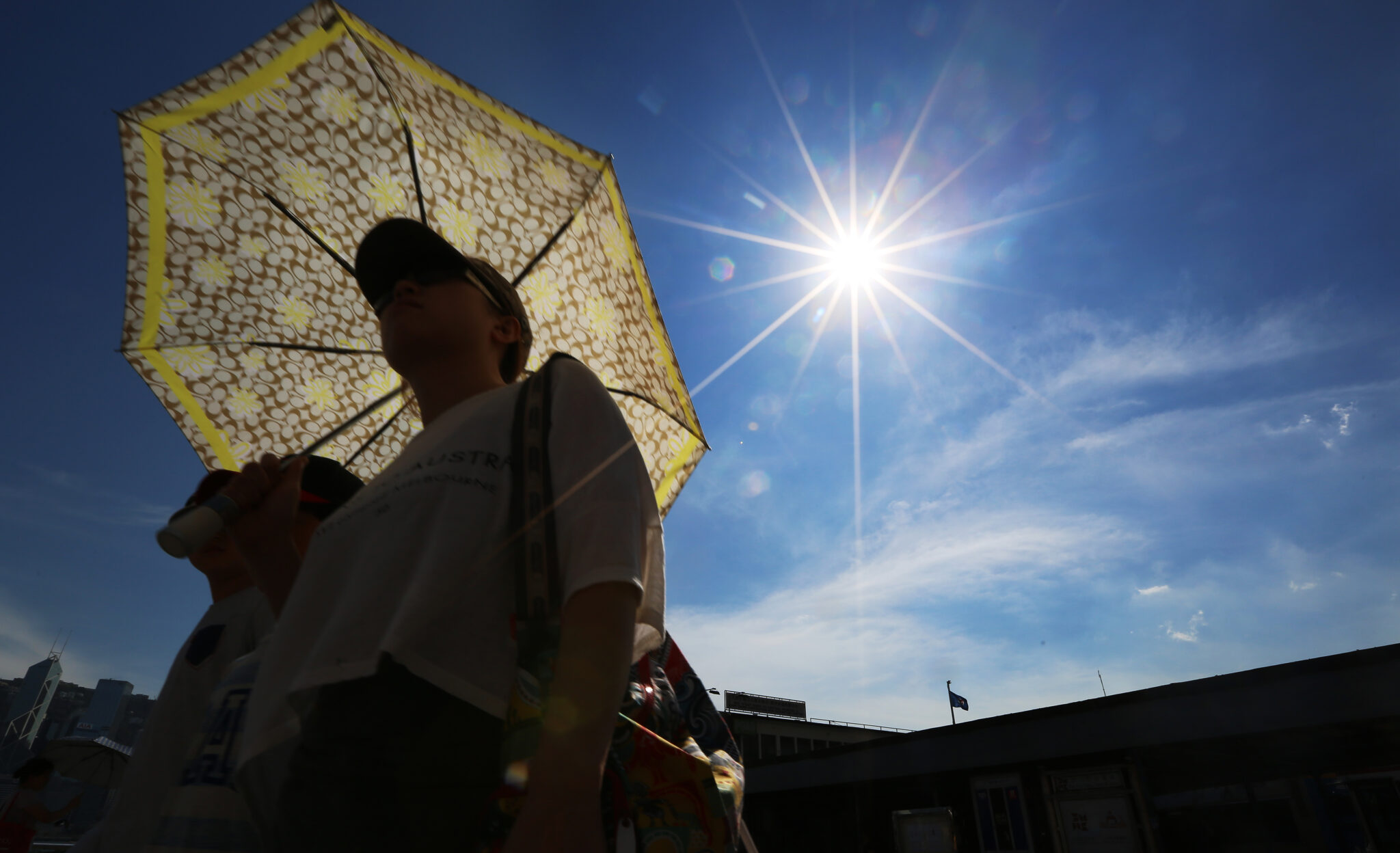
Cyprus remains in the grip of a heat wave, with the Meteorological Service issuing a new yellow warning.
The warning will be in effect from 1:00 p.m. to 4:00 p.m. on Saturday afternoon, with temperatures reaching around 40 degrees in inland areas.
ΣΧΕΤΙΚΑ ΑΡΘΡΑ


CYPRUS METEOROLOGY DEPARTMENT
WARNING FOR EXTREME MAXIMUM TEMPERATURE WARNING NUMBER: 48
RISK LEVEL: YELLOW
VALID FROM: 1:00 p.m. LOCAL TIME UNTIL: 4:00 p.m. LOCAL TIME 08/08/2026 pic.twitter.com/C7o5fm32am— CYMET (@CyMeteorology) August 7, 2026
Detailed forecast:
A seasonal low-pressure system is affecting the region.
Tonight, the weather will continue to be generally clear, while coastal areas will experience periods of increased low-level cloud cover. Later on and during the early morning hours, patchy fog or mist is expected to form locally, particularly in eastern and inland areas. Winds will weaken and become downslope, light, at 3 Beaufort. The sea in the northwest and west will remain locally somewhat choppy, while along the rest of the coast it will be calm to slightly choppy. Temperatures will drop to around 22 degrees inland, around 24 degrees along the coast, and around 20 degrees in the higher mountainous areas.
Tomorrow, the weather will be generally mostly clear, although there will be periods of increased local cloud cover, which may bring isolated showers in the mountains after noon. Winds will be mainly southwesterly to northwesterly, light to moderate in the morning, 3 to 4 Beaufort, gradually strengthening by the afternoon to generally moderate to strong and locally strong, 4 to 5 Beaufort. The sea will be slightly rough in the west and northwest in the morning and calm to slightly rough along the rest of the coast, however, it will gradually become generally slightly choppy and, in the southwest, temporarily choppy. Temperatures will reach around 40 degrees inland, around 33 on the western and northern coasts, around 36 degrees along the rest of the coast, and around 30 degrees in the higher mountainous areas.
Tomorrow night, the weather will be generally clear, while coastal areas will see periods of low cloud cover. Later, during the early morning hours, patchy fog or mist is expected to form locally, particularly in eastern and inland areas. Winds will be mainly southwesterly to northwesterly and later locally variable, light to moderate, 3 to 4 Beaufort, gradually becoming light, 3 Beaufort. The sea in the west and northwest will remain slightly rough, while in the south and east it will gradually become calm to slightly rough.
On Sunday, Monday, and Tuesday, the weather will be generally mostly clear, with increased local cloud cover at times.
Temperatures are not expected to change significantly through Tuesday, continuing to hover generally slightly above the seasonal average.





