



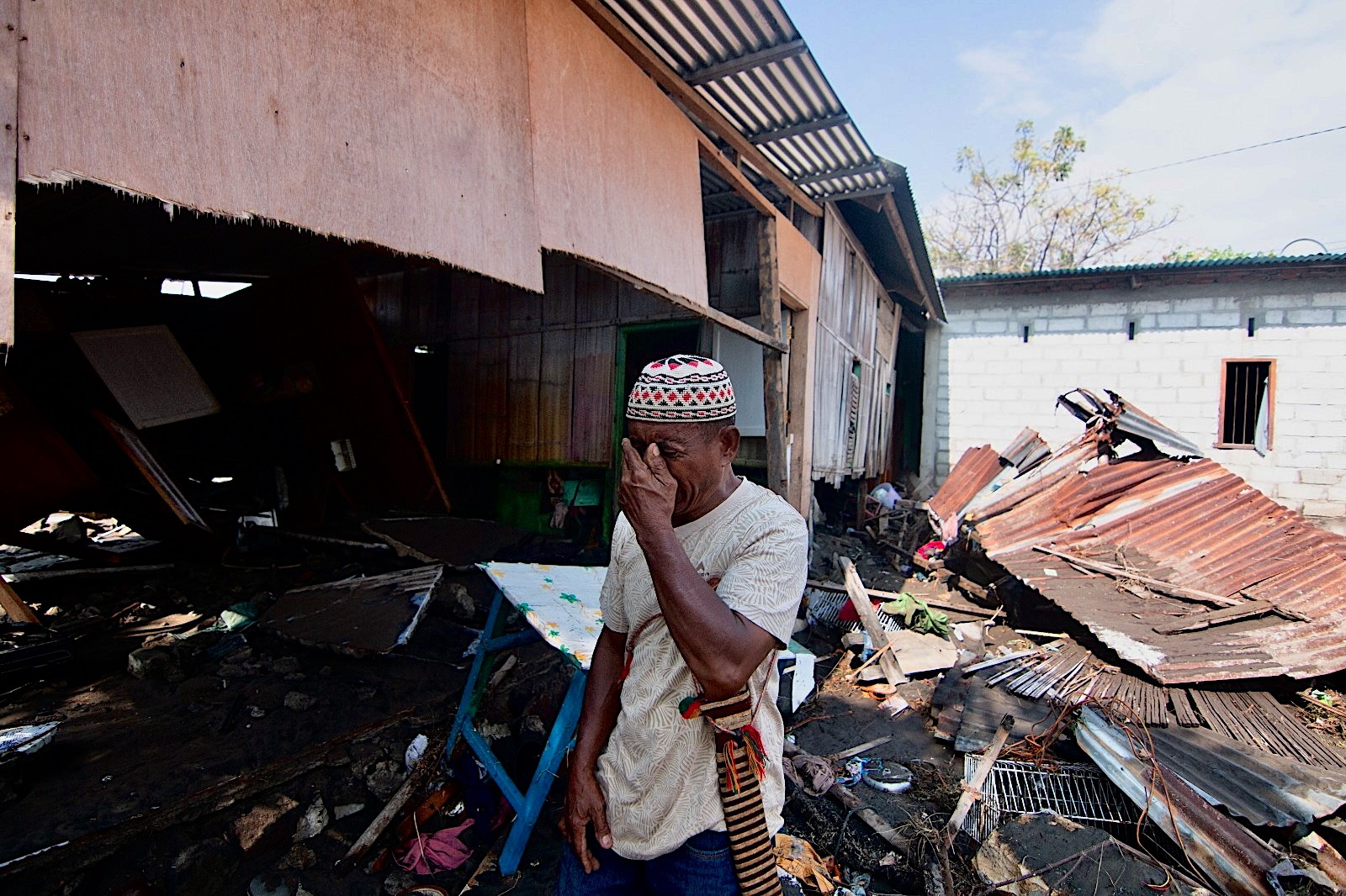
The death toll from the 7.7-magnitude earthquake that struck off the coast of eastern Indonesia today has risen to 38, said the head of the National Disaster Management Agency (BNPB).
“The deaths of 38 people have been confirmed, two others were seriously injured, 11 sustained minor injuries, and approximately 2,000 people evacuated their homes on their own initiative,” he said.
ΣΧΕΤΙΚΑ ΑΡΘΡΑ

Canadian Anne Carson Wins the Nobel Prize in Literature

A Look Back at Apollon’s International Soccer Players
A powerful 7.7-magnitude earthquake struck near Indonesia’s Flores Island, followed by strong aftershocks exceeding 6.0. This marks the sixth global earthquake above magnitude 7.0 in just two months. pic.twitter.com/kpHaaspKyg
— RussiaNews
(@mog_russEN) August 15, 2026
Tsunami waves less than one meter high were recorded in several areas of the Southeast Asian country following the earthquake that occurred in the early hours of this morning. The tsunami warning was lifted about three hours after the earthquake.
Rescue workers in the area around the port city of Maumere found 20 dead, six injured, and two others trapped under rubble, said Fatur Rahman, head of the city’s rescue service. Maumere is the main city of the Sika region on the island of Flores in the eastern part of the vast Indonesian archipelago.
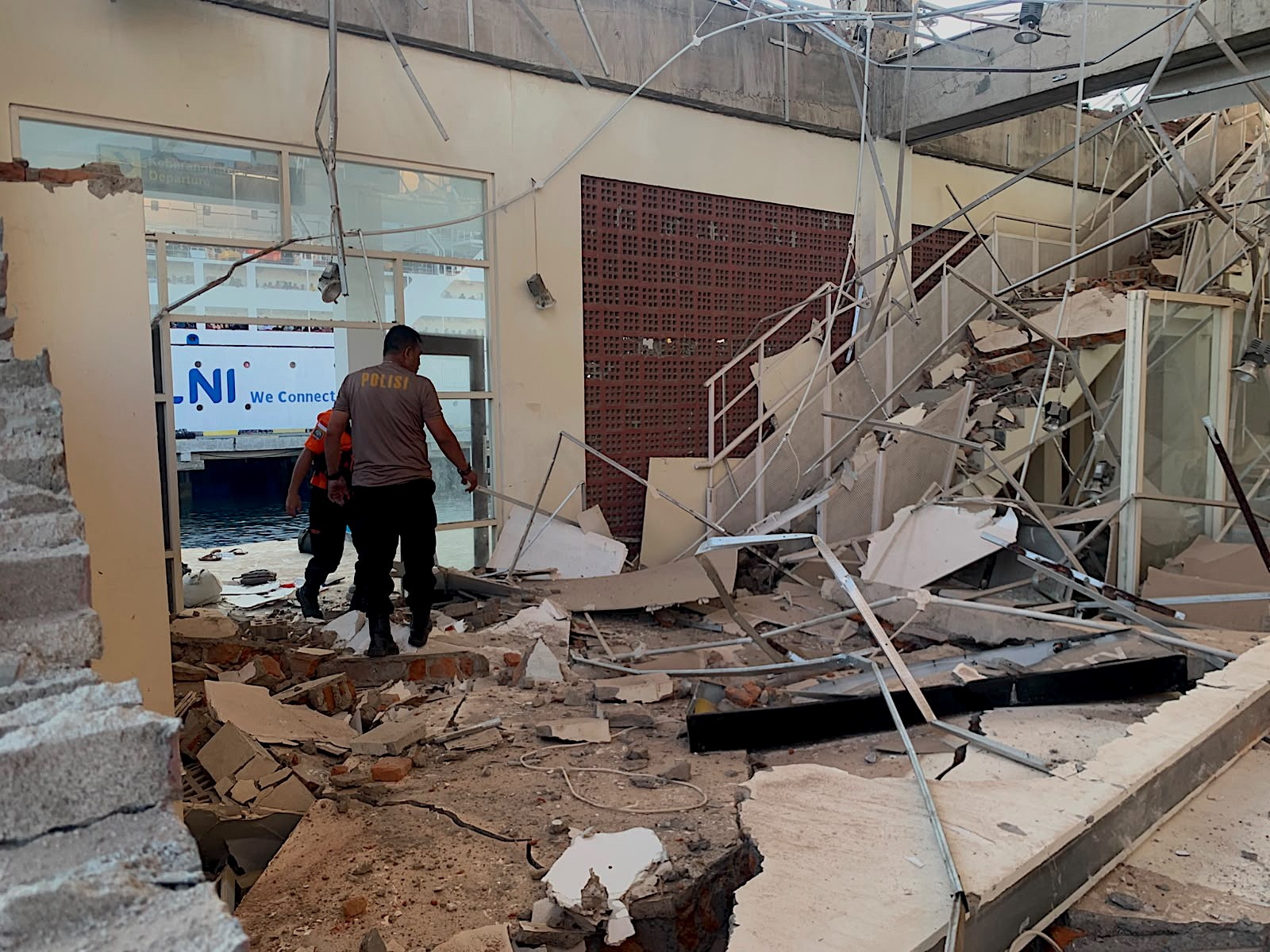
Rescue teams have not yet reached Nangkeo, the area closest to the epicenter, and communications there have been disrupted, Fatur told Reuters. Attempts to reach Nagekeo by car failed due to landslides, while another team was trying to get there by ferry, he said.
About 2,000 residents of Nagkeo were evacuated, and damage has been reported to homes, warehouses, and government facilities, the National Disaster Management Agency (BNPB) said. Authorities also reported traffic congestion and power outages in parts of the region, he said.
INDONESIA
| #EARTHQUAKE 7.7
IMAGES OF PANIC: Fear broke out near the coast of Ternate, and people had to be evacuated to safe areas. Authorities are assessing potential damage and casualties. A tsunami warning is in effect
https://t.co/Onr2CnG1zX pic.twitter.com/4BdOF61p4G
— XAlertNow (@xalertnow) August 15, 2026

The governor of East Nusa Tenggara Province, Emanuel Melkiantes Laka Lena, stated at a press conference that at least five people died when debris fell on them while they.
The BNPB, which initially reported one death and four injuries from the earthquake, said it is still gathering information.
The earthquake in Indonesia measured 7.7 on the Richter scale. For many people, the early morning began with disaster.
— Mahrosh Pervaiz (@MahroshPervaiz1) August 15, 2026
Parts of a collapsed building, as people scream and rush into the street, as seen in a video on Facebook, the authenticity of which was confirmed by Reuters, were filmed at a port in Maumere.
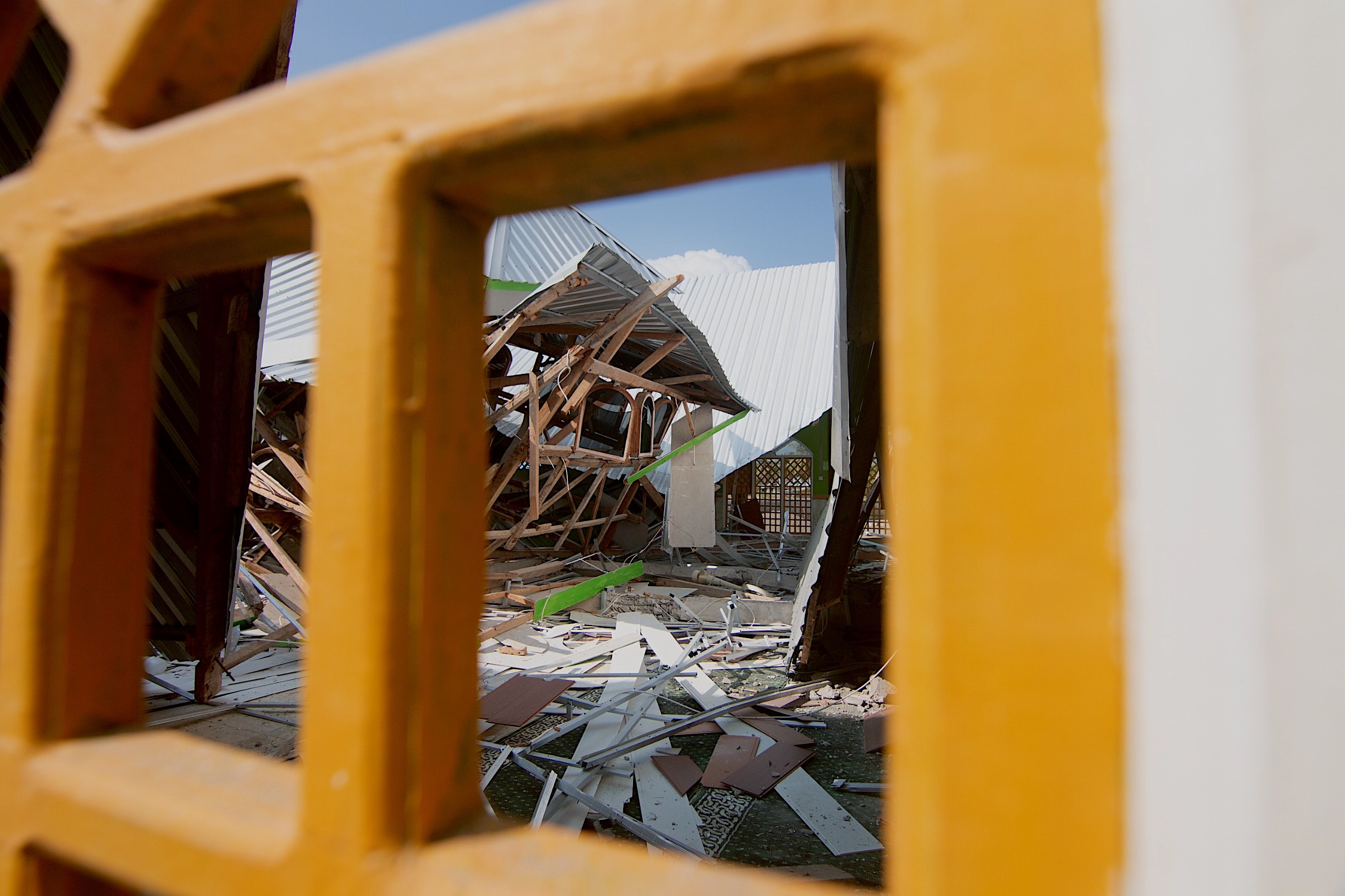
The earthquake was felt throughout East Nusa Tenggara, West Nusa Tenggara, and parts of South Sulawesi, while residents in several areas reported that the tremor lasted about one minute, the BNRB said in a statement.
“Most people felt the tremor and ran out of their homes,” it said.
Footage from Kompas TV shows a hospital in the Ende district of East Nusa Tenggara province moving patients outdoors, while Kompas.com reported at least one landslide.
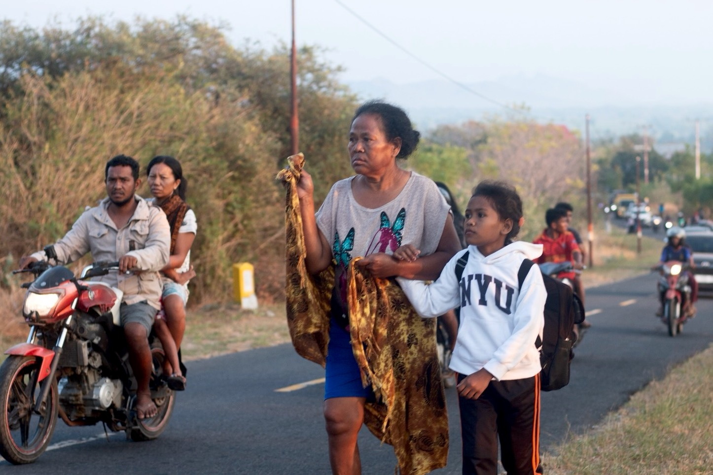
The Indonesian Geophysical Agency (BKMG) recorded the first earthquake at 4:58 a.m. (local time, 00:58 Cyprus time) at a depth of 15 kilometers, followed by several aftershocks.
In 1992, the same region was struck by a 7.5-magnitude earthquake that caused widespread destruction, it reported.
Indonesia is located on the so-called Pacific Ring of Fire, a highly seismically active zone where various tectonic plates converge, causing intense seismic and volcanic activity.
SEE ALSO: Strong 7.7-magnitude earthquake in Indonesia, fatalities and damaged buildings | AlphaNews
Source: APE-MPE








